Program Information
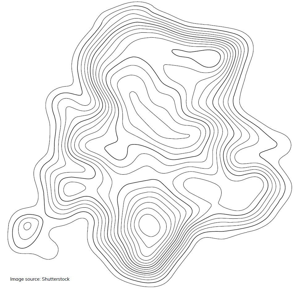
This is a hands-on activity demonstrating ways to use topographical mapping techniques to track changes in sea level. The activity is connected to current NASA research. Together, participants and facilitators can discuss the effects of rising sea levels on coastal communities and the natural environment. Learners explore how to use topographical mapping techniques to track changes in sea level and have discussions about the effects of rising sea levels on the environment and coastal communities. See Resources for videos, Printables, and conversational prompts for this program.
Suggested runtime: 45 min.
Available Resources
Activity Instructions
- Version
- Download 2211
- File Size 0.00 KB
- File Count 1
- Create Date August 9, 2021
- Last Updated August 9, 2021
Categories
01 Children, 45 mins, Chapter 6 Uncharted, Game/Activity
Tags